Projects
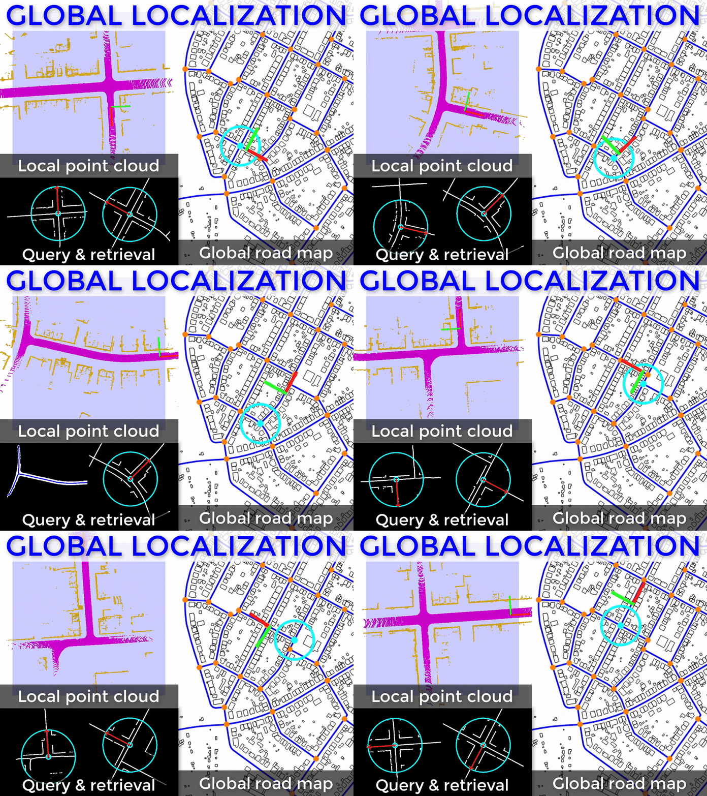
- Global vehicle localization under GNSS degradation
- Cost-effective alternative to HD maps using OpenStreetMap
- Framework leverages road intersections as distinctive landmarks
- Compact binary descriptors jointly encode road and building imprints
- Discrepancy mitigation enables robust cross-modal matching
- State-of-the-art accuracy, applicable to diverse perception sensors
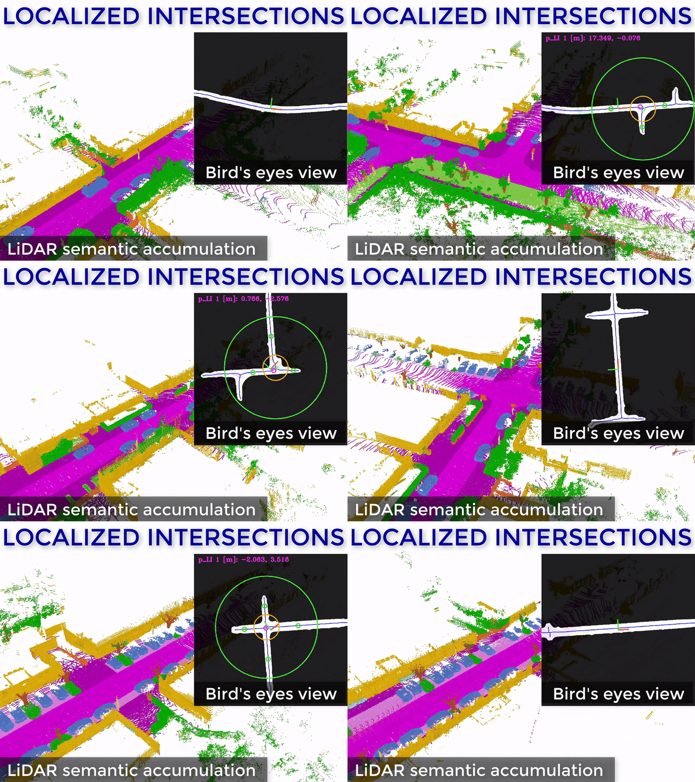
- Road intersection detection and localization using on-vehicle 3D LiDAR
- Non-learning-based algorithm eliminating manual intersection labeling
- Integration of semantic segmentation and vehicle odometry as inputs
- Automated evaluation using public, free, Earth-scale OpenStreetMap data
- Localization accuracy exceeds the state-of-the-art by over 2×
- Robustness to semantic noise up to 10× standard error rates
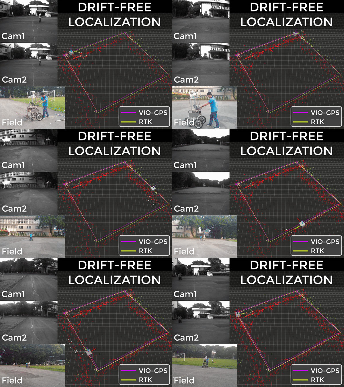
- Long-term accurate pose estimation by complementary sensor fusion
- Bounded heading estimation using a single GNSS antenna
- Pose registration in the geographic coordinate system
- Late-fusion architecture enabling flexible design and efficient execution
- Decimeter-level position and degree-level heading accuracy
- Self-alignment capability after prolonged GNSS outages
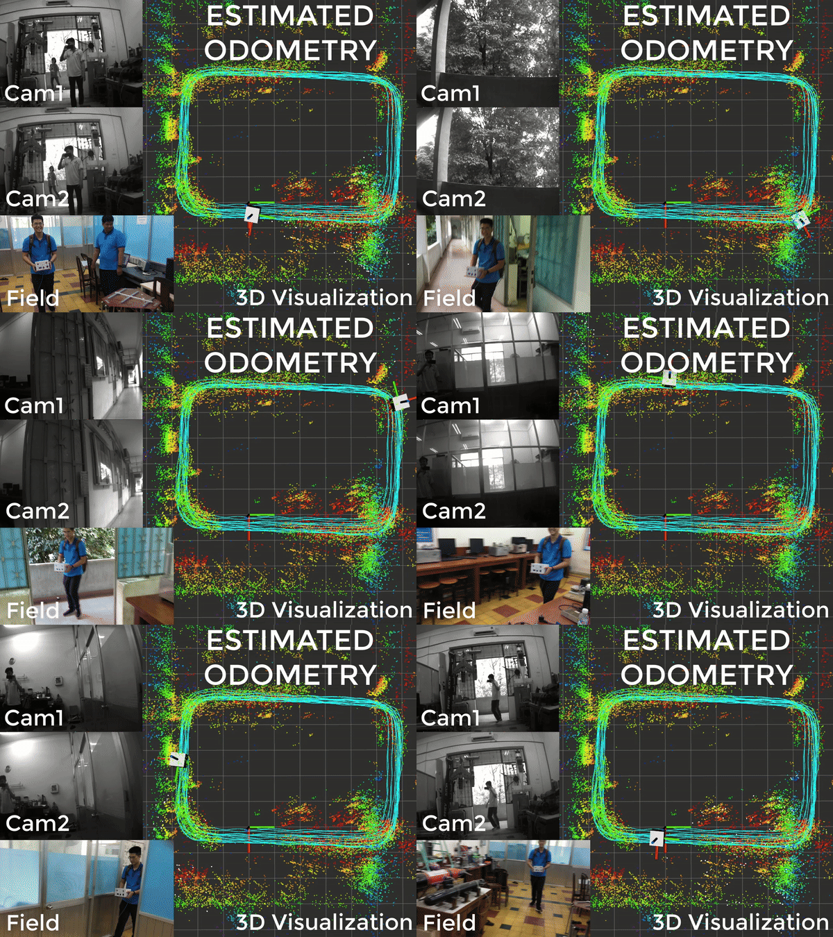
- Precise and high-rate pose estimation by complementary sensor fusion
- Adaptive synchronization compensating for variable camera exposure time
- Intrinsic and extrinsic calibration of a camera-camera-IMU suite
- Real-time deployment on an embedded computing platform
- Minimal accumulated errors in position and orientation
- Validated robustness under lighting changes and dynamic outliers
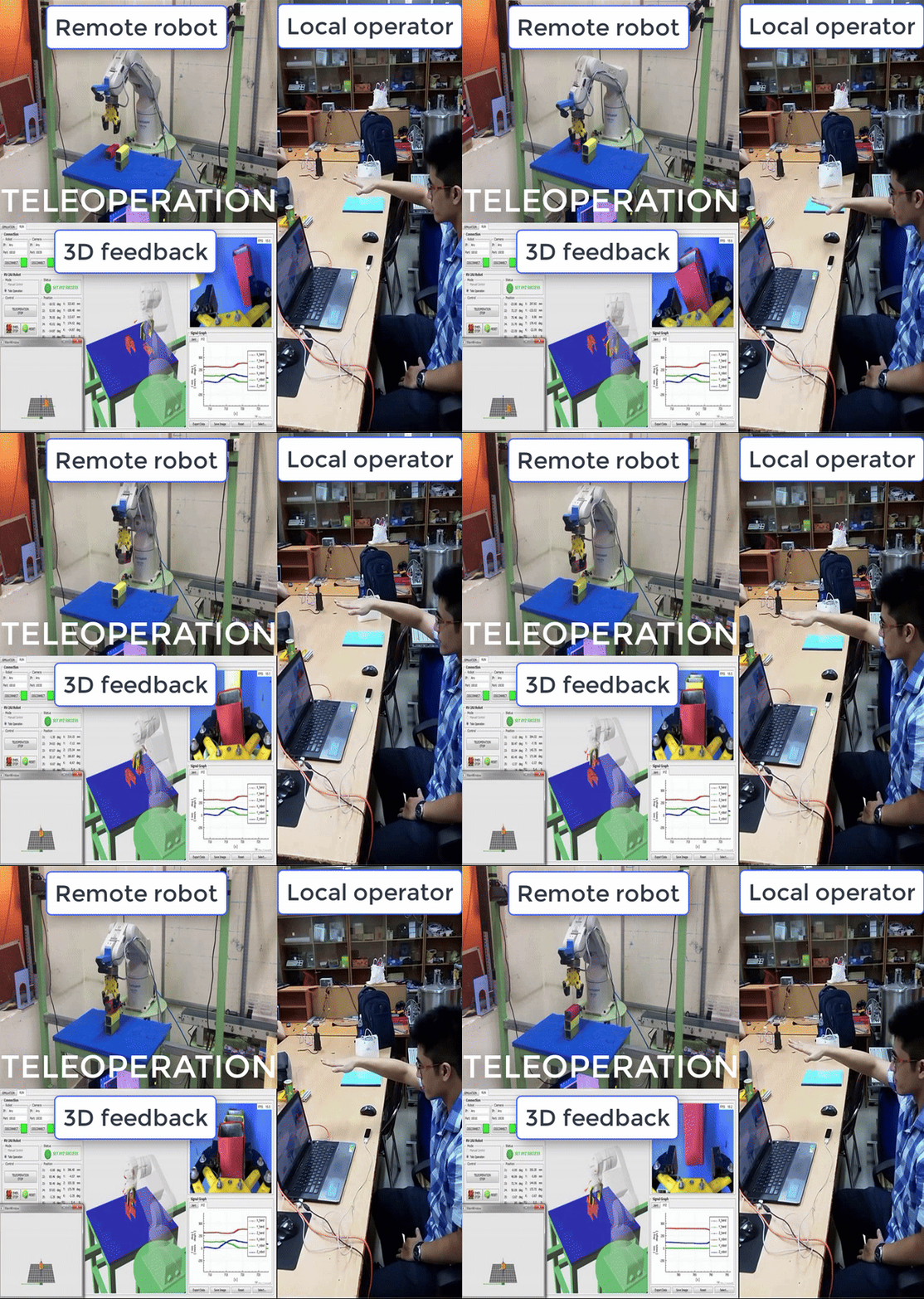
- Motion replication from the human hand to a robotic arm
- Digital twin feedback of the robot and the remote environment
- Real-time teleoperation with an optimized software implementation
- Seamless task training and repetition without traditional point teaching
- Industrial-grade kinematic modeling and trajectory planning
- Custom-designed force-sensing end-effector gripper